Canada Topographic Maps

Sturgeon River Topo Maps

Topography maps and Latitude/Longitude Location

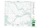
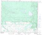
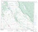
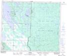
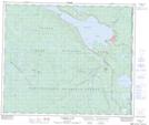
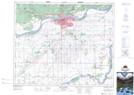
Maps showing Sturgeon River, 3-49-27-W2, Saskatchewan

Sturgeon River is a River located in 3-49-27-W2, Saskatchewan and has an elevation of 472 meters.

  • Latitude: 53° 12' North   (decimal: 53.2000440)
  • Longitude: 105° 52' West   (decimal: -105.8671803)
  • Topography Feature Category: River
  • Geographical Feature: River
  • Canadian Province/Territory: Saskatchewan
  • Elevation: 472 meters
  • Location: 3-49-27-W2
  • Atlas of Canada Locator Map: Sturgeon River
  • GPS Coordinate Locator Map: Sturgeon River Lat/Long

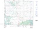
Sturgeon River NTS Map Sheets

073G08 Wild Rose Topographic Map at 1:50,000 scale

073G09 Halkett Lake Topographic Map at 1:50,000 scale

073G10 Debden Topographic Map at 1:50,000 scale

073G15 Bodmin Topographic Map at 1:50,000 scale

073G16 Waskesiu Lake Topographic Map at 1:50,000 scale

073H04 Prince Albert Topographic Map at 1:50,000 scale

073H05 Henribourg Topographic Map at 1:50,000 scale

073G Shellbrook Topographic Map at 1:250,000 scale

073H Prince Albert Topographic Map at 1:250,000 scale

 
Buy Topographic Maps DVD
Newsletter Sign-up

Yes, I want to receive map store discounts.


Bookmark and Share