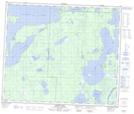
Maps showing Tea Point, Saskatchewan
Tea Point is a Cape located in Saskatchewan.
- Latitude: 54° 12' North (decimal: 54.2000522)
- Longitude: 101° 56' West (decimal: -101.9337406)
- Topography Feature Category: Cape
- Geographical Feature: Point
- Canadian Province/Territory: Saskatchewan
- Atlas of Canada Locator Map: Tea Point
- GPS Coordinate Locator Map: Tea Point Lat/Long
Tea Point NTS Map Sheets