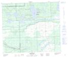
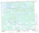
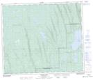
Maps showing Otter Creek, Saskatchewan
Otter Creek is a River located in Saskatchewan and has an elevation of 479 meters.
- Latitude: 54° 25' North (decimal: 54.4167583)
- Longitude: 108° 30' West (decimal: -108.5007222)
- Topography Feature Category: River
- Geographical Feature: Creek
- Canadian Province/Territory: Saskatchewan
- Elevation: 479 meters
- Atlas of Canada Locator Map: Otter Creek
- GPS Coordinate Locator Map: Otter Creek Lat/Long
Otter Creek NTS Map Sheets