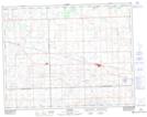
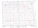
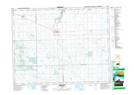
Maps showing Wolfe Creek, 36-17-10-W2, Saskatchewan
Wolfe Creek is a River located in 36-17-10-W2, Saskatchewan and has an elevation of 605 meters.
- Latitude: 50° 28' North (decimal: 50.4666889)
- Longitude: 103° 15' West (decimal: -103.2505173)
- Topography Feature Category: River
- Geographical Feature: Creek
- Canadian Province/Territory: Saskatchewan
- Elevation: 605 meters
- Location: 36-17-10-W2
- Atlas of Canada Locator Map: Wolfe Creek
- GPS Coordinate Locator Map: Wolfe Creek Lat/Long
Wolfe Creek NTS Map Sheets