Maps showing Wollaston Lake, Saskatchewan
Wollaston Lake is a Lake located in Saskatchewan and has an elevation of 396 meters.
- Latitude: 58° 15' North (decimal: 58.2501403)
- Longitude: 103° 15' West (decimal: -103.2504458)
- Topography Feature Category: Lake
- Geographical Feature: Lake
- Canadian Province/Territory: Saskatchewan
- Elevation: 396 meters
- Atlas of Canada Locator Map: Wollaston Lake
- GPS Coordinate Locator Map: Wollaston Lake Lat/Long
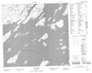
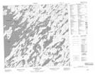
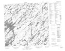
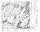
Wollaston Lake NTS Map Sheets
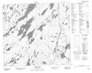
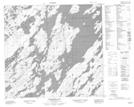
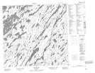
064E11 Cairns Lake Topographic Map at 1:50,000 scale
064E12 Morell Lake Topographic Map at 1:50,000 scale
064E13 Nekweaga Bay Topographic Map at 1:50,000 scale
064E14 Brandser Island Topographic Map at 1:50,000 scale
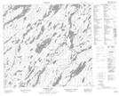
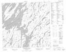
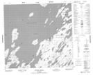
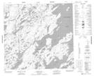
064L02 Fidler Bay Topographic Map at 1:50,000 scale
064L03 Hungry Island Topographic Map at 1:50,000 scale
064L04 Hidden Bay Topographic Map at 1:50,000 scale
064L05 Cunning Bay Topographic Map at 1:50,000 scale
064L06 Fife Island Topographic Map at 1:50,000 scale
064L07 Klemmer Lake Topographic Map at 1:50,000 scale
064L10 Wellbelove Bay Topographic Map at 1:50,000 scale
064L11 Killock Bay Topographic Map at 1:50,000 scale
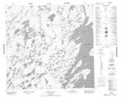
064E Compulsion Bay Topographic Map at 1:250,000 scale
064L Wollaston Lake Topographic Map at 1:250,000 scale