Canada Topographic Maps

Thunder Hills Topo Maps

Topography maps and Latitude/Longitude Location

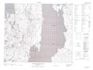
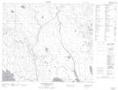
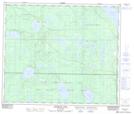
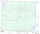
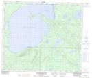
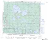
Maps showing Thunder Hills, Saskatchewan

Thunder Hills is a Mountain located in Saskatchewan and has an elevation of 654 meters.

  • Latitude: 54° 32' North   (decimal: 54.5333846)
  • Longitude: 106° 15' West   (decimal: -106.2504989)
  • Topography Feature Category: Mountain
  • Geographical Feature: Hills
  • Canadian Province/Territory: Saskatchewan
  • Elevation: 654 meters
  • Atlas of Canada Locator Map: Thunder Hills
  • GPS Coordinate Locator Map: Thunder Hills Lat/Long

Thunder Hills NTS Map Sheets

073I05 Montreal Lake North Topographic Map at 1:50,000 scale

073I12 Montreal Rapids Topographic Map at 1:50,000 scale

073J08 Musquash Lake Topographic Map at 1:50,000 scale

073J09 Randall Lake Topographic Map at 1:50,000 scale

073J10 Smoothstone Lake Topographic Map at 1:50,000 scale

073I Wapawekka Hills Topographic Map at 1:250,000 scale

073J Green Lake Topographic Map at 1:250,000 scale

 
Buy Topographic Maps DVD
Newsletter Sign-up

Yes, I want to receive map store discounts.


Bookmark and Share