Canada Topographic Maps

Timson River Topo Maps

Topography maps and Latitude/Longitude Location

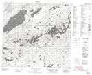
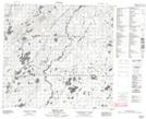
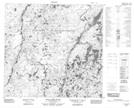
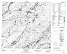
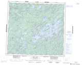
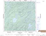
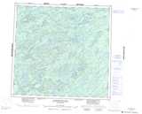
Maps showing Timson River, Saskatchewan

Timson River is a River located in Saskatchewan and has an elevation of 442 meters.

  • Latitude: 58° 8' North   (decimal: 58.1334634)
  • Longitude: 105° 55' West   (decimal: -105.9173035)
  • Topography Feature Category: River
  • Geographical Feature: River
  • Canadian Province/Territory: Saskatchewan
  • Elevation: 442 meters
  • Atlas of Canada Locator Map: Timson River
  • GPS Coordinate Locator Map: Timson River Lat/Long

Timson River NTS Map Sheets

074G15 Engemann Lake Topographic Map at 1:50,000 scale

074G16 Timson Lake Topographic Map at 1:50,000 scale

074I04 Little Cree River Topographic Map at 1:50,000 scale

074J01 Rotariu Lake Topographic Map at 1:50,000 scale

074G Cree Lake Topographic Map at 1:250,000 scale

074I Pasfield Lake Topographic Map at 1:250,000 scale

074J Livingstone Lake Topographic Map at 1:250,000 scale

 
Buy Topographic Maps DVD
Newsletter Sign-up

Yes, I want to receive map store discounts.


Bookmark and Share