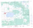
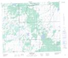
Maps showing Morin Creek, Saskatchewan
Morin Creek is a River located in Saskatchewan and has an elevation of 464 meters.
- Latitude: 54° 14' North (decimal: 54.2334221)
- Longitude: 108° 22' West (decimal: -108.3673664)
- Topography Feature Category: River
- Geographical Feature: Creek
- Canadian Province/Territory: Saskatchewan
- Elevation: 464 meters
- Atlas of Canada Locator Map: Morin Creek
- GPS Coordinate Locator Map: Morin Creek Lat/Long
Morin Creek NTS Map Sheets