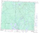
Maps showing Stamp, 56-13-W3, Saskatchewan
Stamp is a Unincorporated area located in 56-13-W3, Saskatchewan.
- Latitude: 53° 53' North (decimal: 53.8834137)
- Longitude: 107° 54' West (decimal: -107.9006477)
- Topography Feature Category: Unincorporated area
- Geographical Feature: Railway Point
- Canadian Province/Territory: Saskatchewan
- Location: 56-13-W3
- Atlas of Canada Locator Map: Stamp
- GPS Coordinate Locator Map: Stamp Lat/Long