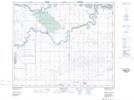
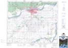
Maps showing Muskoday Indian Reserve 99, Saskatchewan
Muskoday Indian Reserve 99 is a Indian Reserve located in Saskatchewan.
- Latitude: 53° 6' 5'' North (decimal: 53.1014240)
- Longitude: 105° 26' 52'' West (decimal: -105.4477304)
- Topography Feature Category: Indian Reserve
- Geographical Feature: Indian Reserve
- Canadian Province/Territory: Saskatchewan
- GPS Coordinate Locator Map: Muskoday Indian Reserve 99 Lat/Long
Muskoday Indian Reserve 99 NTS Map Sheets