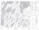
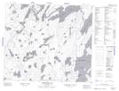
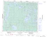
Maps showing Smith Peninsula, 77-4-W3, Saskatchewan
Smith Peninsula is a Cape located in 77-4-W3, Saskatchewan.
- Latitude: 55° 41' North (decimal: 55.6834035)
- Longitude: 106° 30' West (decimal: -106.5005347)
- Topography Feature Category: Cape
- Geographical Feature: Peninsula
- Canadian Province/Territory: Saskatchewan
- Location: 77-4-W3
- Atlas of Canada Locator Map: Smith Peninsula
- GPS Coordinate Locator Map: Smith Peninsula Lat/Long
Smith Peninsula NTS Map Sheets