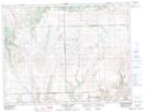
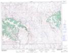
Maps showing Cypress Hills Park, 20-8-26-W3, Saskatchewan
Cypress Hills Park is a Unincorporated area located in 20-8-26-W3, Saskatchewan.
- Latitude: 49° 39' North (decimal: 49.6500312)
- Longitude: 109° 30' West (decimal: -109.5007466)
- Topography Feature Category: Unincorporated area
- Geographical Feature: Settlement
- Canadian Province/Territory: Saskatchewan
- Location: 20-8-26-W3
- GPS Coordinate Locator Map: Cypress Hills Park Lat/Long
Cypress Hills Park NTS Map Sheets