Canada Topographic Maps

Kaposvar Creek Topo Maps

Topography maps and Latitude/Longitude Location

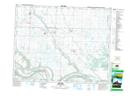
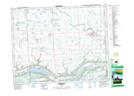
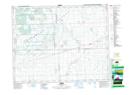
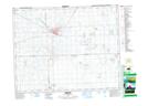
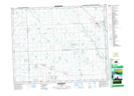
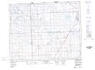
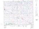
Maps showing Kaposvar Creek, 11-18-33-W, Saskatchewan

Kaposvar Creek is a River located in 11-18-33-W, Saskatchewan and has an elevation of 437 meters.

  • Latitude: 50° 31' North   (decimal: 50.5166706)
  • Longitude: 101° 55' West   (decimal: -101.9171421)
  • Topography Feature Category: River
  • Geographical Feature: Creek
  • Canadian Province/Territory: Saskatchewan
  • Elevation: 437 meters
  • Location: 11-18-33-W
  • Atlas of Canada Locator Map: Kaposvar Creek
  • GPS Coordinate Locator Map: Kaposvar Creek Lat/Long

Kaposvar Creek NTS Map Sheets

062K12 Spy Hill Topographic Map at 1:50,000 scale

062L09 Esterhazy Topographic Map at 1:50,000 scale

062L14 Lorlie Topographic Map at 1:50,000 scale

062L15 Melville Topographic Map at 1:50,000 scale

062L16 Bredenbury Topographic Map at 1:50,000 scale

062M02 Willowbrook Topographic Map at 1:50,000 scale

062M03 Goodeve Topographic Map at 1:50,000 scale

062K Riding Mountain Topographic Map at 1:250,000 scale

062L Melville Topographic Map at 1:250,000 scale

062M Yorkton Topographic Map at 1:250,000 scale

 
Buy Topographic Maps DVD
Newsletter Sign-up

Yes, I want to receive map store discounts.


Bookmark and Share