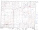
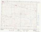
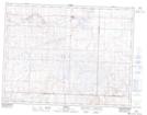
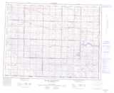
Maps showing Pinto Creek, 24-8-6-W3, Saskatchewan
Pinto Creek is a River located in 24-8-6-W3, Saskatchewan and has an elevation of 718 meters.
- Latitude: 49° 40' North (decimal: 49.6666957)
- Longitude: 106° 41' West (decimal: -106.6839459)
- Topography Feature Category: River
- Geographical Feature: Creek
- Canadian Province/Territory: Saskatchewan
- Elevation: 718 meters
- Location: 24-8-6-W3
- Atlas of Canada Locator Map: Pinto Creek
- GPS Coordinate Locator Map: Pinto Creek Lat/Long
Pinto Creek NTS Map Sheets