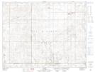
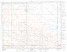
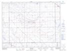
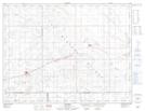
Maps showing The Gap, 6-19-W2, Saskatchewan
The Gap is a Valley located in 6-19-W2, Saskatchewan and has an elevation of 667 meters.
- Latitude: 49° 30' North (decimal: 49.5000330)
- Longitude: 104° 32' West (decimal: -104.5338736)
- Topography Feature Category: Valley
- Geographical Feature: Gap
- Canadian Province/Territory: Saskatchewan
- Elevation: 667 meters
- Location: 6-19-W2
- Atlas of Canada Locator Map: The Gap
- GPS Coordinate Locator Map: The Gap Lat/Long
The Gap NTS Map Sheets