Canada Topographic Maps

Peter Pond Lake Topo Maps

Topography maps and Latitude/Longitude Location

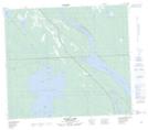
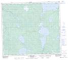
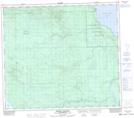
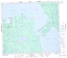
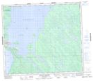
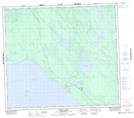
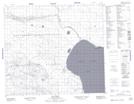
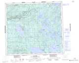
Maps showing Peter Pond Lake, Saskatchewan

Peter Pond Lake is a Lake located in Saskatchewan and has an elevation of 426 meters.

  • Latitude: 55° 55' North   (decimal: 55.9167536)
  • Longitude: 108° 44' West   (decimal: -108.7340645)
  • Topography Feature Category: Lake
  • Geographical Feature: Lake
  • Canadian Province/Territory: Saskatchewan
  • Elevation: 426 meters
  • Atlas of Canada Locator Map: Peter Pond Lake
  • GPS Coordinate Locator Map: Peter Pond Lake Lat/Long

Peter Pond Lake NTS Map Sheets

073N09 Kazan Lake Topographic Map at 1:50,000 scale

073N10 Niska Lake Topographic Map at 1:50,000 scale

073N14 Michel Village Topographic Map at 1:50,000 scale

073N15 Dillon Topographic Map at 1:50,000 scale

073N16 Buffalo Narrows Topographic Map at 1:50,000 scale

074C02 Mccoy Lake Topographic Map at 1:50,000 scale

074C03 Hay Point Topographic Map at 1:50,000 scale

073N Buffalo Narrows Topographic Map at 1:250,000 scale

074C La Loche Topographic Map at 1:250,000 scale

 
Buy Topographic Maps DVD
Newsletter Sign-up

Yes, I want to receive map store discounts.


Bookmark and Share