Canada Topographic Maps

Keeley River Topo Maps

Topography maps and Latitude/Longitude Location

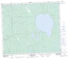
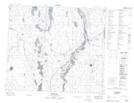
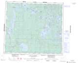
Maps showing Keeley River, Saskatchewan

Keeley River is a River located in Saskatchewan and has an elevation of 432 meters.

  • Latitude: 55° 8' North   (decimal: 55.1334193)
  • Longitude: 108° 6' West   (decimal: -108.1007059)
  • Topography Feature Category: River
  • Geographical Feature: River
  • Canadian Province/Territory: Saskatchewan
  • Elevation: 432 meters
  • Atlas of Canada Locator Map: Keeley River
  • GPS Coordinate Locator Map: Keeley River Lat/Long

Keeley River NTS Map Sheets

073K16 Keeley Lake Topographic Map at 1:50,000 scale

073N01 Canoe Lake Topographic Map at 1:50,000 scale

073O04 Beauval Topographic Map at 1:50,000 scale

073K Waterhen River Topographic Map at 1:250,000 scale

073N Buffalo Narrows Topographic Map at 1:250,000 scale

073O Ile-A-La-Crosse Topographic Map at 1:250,000 scale

 
Buy Topographic Maps DVD
Newsletter Sign-up

Yes, I want to receive map store discounts.


Bookmark and Share