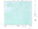
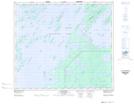
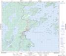
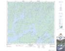
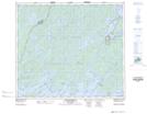
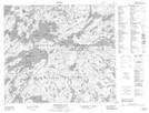
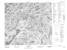
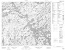
Maps showing Lac la Ronge Park, Saskatchewan
Lac la Ronge Park is a Conservation area located in Saskatchewan and has an elevation of 426 meters.
- Latitude: 55° 15' North (decimal: 55.2500700)
- Longitude: 104° 45' West (decimal: -104.7504409)
- Topography Feature Category: Conservation area
- Geographical Feature: Provincial Park
- Canadian Province/Territory: Saskatchewan
- Elevation: 426 meters
- Atlas of Canada Locator Map: Lac la Ronge Park
- GPS Coordinate Locator Map: Lac la Ronge Park Lat/Long
Lac la Ronge Park NTS Map Sheets
073P01 Cartier Lake Topographic Map at 1:50,000 scale
073P02 Hunter Bay Topographic Map at 1:50,000 scale
073P03 La Ronge Topographic Map at 1:50,000 scale
073P06 Nemeiben Lake Topographic Map at 1:50,000 scale
073P07 Stanley Mission Topographic Map at 1:50,000 scale
073P08 Nistowiak Lake Topographic Map at 1:50,000 scale
073P09 Guncoat Bay Topographic Map at 1:50,000 scale
073P10 Otter Lake Topographic Map at 1:50,000 scale
073P Lac La Ronge Topographic Map at 1:250,000 scale