Canada Topographic Maps

Nipin River Topo Maps

Topography maps and Latitude/Longitude Location

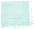
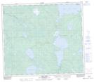
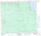
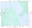
Maps showing Nipin River, 78-20-W3, Saskatchewan

Nipin River is a River located in 78-20-W3, Saskatchewan and has an elevation of 433 meters.

  • Latitude: 55° 46' North   (decimal: 55.7667585)
  • Longitude: 109° 2' West   (decimal: -109.0340931)
  • Topography Feature Category: River
  • Geographical Feature: River
  • Canadian Province/Territory: Saskatchewan
  • Elevation: 433 meters
  • Location: 78-20-W3
  • Atlas of Canada Locator Map: Nipin River
  • GPS Coordinate Locator Map: Nipin River Lat/Long

Nipin River NTS Map Sheets

073N06 Nipin Lake Topographic Map at 1:50,000 scale

073N10 Niska Lake Topographic Map at 1:50,000 scale

073N11 Vermette Lake Topographic Map at 1:50,000 scale

073N14 Michel Village Topographic Map at 1:50,000 scale

073N15 Dillon Topographic Map at 1:50,000 scale

073N Buffalo Narrows Topographic Map at 1:250,000 scale

 
Buy Topographic Maps DVD
Newsletter Sign-up

Yes, I want to receive map store discounts.


Bookmark and Share