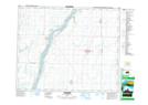
Maps showing Reddekopp Island, Saskatchewan
Reddekopp Island is a Island located in Saskatchewan and has an elevation of 462 meters.
- Latitude: 52° 44' North (decimal: 52.7333792)
- Longitude: 106° 45' West (decimal: -106.7505851)
- Topography Feature Category: Island
- Geographical Feature: Island
- Canadian Province/Territory: Saskatchewan
- Elevation: 462 meters
- Atlas of Canada Locator Map: Reddekopp Island
- GPS Coordinate Locator Map: Reddekopp Island Lat/Long