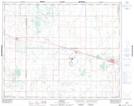
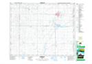
Maps showing Wolverine Lake, 34,35-23-W2, Saskatchewan
Wolverine Lake is a Lake located in 34,35-23-W2, Saskatchewan and has an elevation of 549 meters.
- Latitude: 52° 3' North (decimal: 52.0500292)
- Longitude: 105° 14' West (decimal: -105.2338984)
- Topography Feature Category: Lake
- Geographical Feature: Lake
- Canadian Province/Territory: Saskatchewan
- Elevation: 549 meters
- Location: 34,35-23-W2
- Atlas of Canada Locator Map: Wolverine Lake
- GPS Coordinate Locator Map: Wolverine Lake Lat/Long
Wolverine Lake NTS Map Sheets