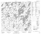
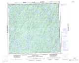
Maps showing Martin Island, Saskatchewan
Martin Island is a Island located in Saskatchewan.
- Latitude: 59° 11' North (decimal: 59.1835020)
- Longitude: 103° 39' West (decimal: -103.6505494)
- Topography Feature Category: Island
- Geographical Feature: Island
- Canadian Province/Territory: Saskatchewan
- Atlas of Canada Locator Map: Martin Island
- GPS Coordinate Locator Map: Martin Island Lat/Long
Martin Island NTS Map Sheets