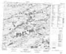
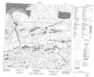
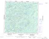
Maps showing Westside Creek, Saskatchewan
Westside Creek is a River located in Saskatchewan and has an elevation of 335 meters.
- Latitude: 59° 4' North (decimal: 59.0670252)
- Longitude: 107° 36' West (decimal: -107.6010320)
- Topography Feature Category: River
- Geographical Feature: Creek
- Canadian Province/Territory: Saskatchewan
- Elevation: 335 meters
- Atlas of Canada Locator Map: Westside Creek
- GPS Coordinate Locator Map: Westside Creek Lat/Long
Westside Creek NTS Map Sheets