Maps showing Souris River, Saskatchewan
Souris River is a River located in Saskatchewan and has an elevation of 518 meters.
- Latitude: 49° 0' North (decimal: 49.0000244)
- Longitude: 101° 59' West (decimal: -101.9837681)
- Topography Feature Category: River
- Geographical Feature: River
- Canadian Province/Territory: Saskatchewan
- Elevation: 518 meters
- Atlas of Canada Locator Map: Souris River
- GPS Coordinate Locator Map: Souris River Lat/Long
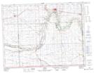
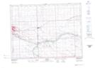
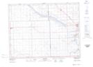
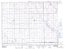
Souris River NTS Map Sheets
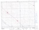
062E01 Oxbow Topographic Map at 1:50,000 scale
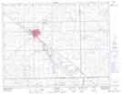
062E02 Estevan Topographic Map at 1:50,000 scale
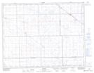
062E03 Hitchcock Topographic Map at 1:50,000 scale
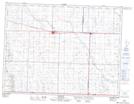
062E05 Goodwater Topographic Map at 1:50,000 scale
062E06 Midale Topographic Map at 1:50,000 scale
062E12 Weyburn Topographic Map at 1:50,000 scale
062E13 Talmage Topographic Map at 1:50,000 scale
062F04 Carnduff Topographic Map at 1:50,000 scale
072H16 Lang Topographic Map at 1:50,000 scale
062E Weyburn Topographic Map at 1:250,000 scale
062F Virden Topographic Map at 1:250,000 scale
072H Willow Bunch Lake Topographic Map at 1:250,000 scale