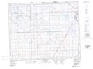
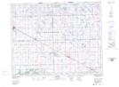
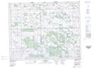
Maps showing Willow Brook, 35-25-5-W2, Saskatchewan
Willow Brook is a River located in 35-25-5-W2, Saskatchewan and has an elevation of 538 meters.
- Latitude: 51° 13' North (decimal: 51.2166683)
- Longitude: 102° 37' West (decimal: -102.6171495)
- Topography Feature Category: River
- Geographical Feature: Brook
- Canadian Province/Territory: Saskatchewan
- Elevation: 538 meters
- Location: 35-25-5-W2
- Atlas of Canada Locator Map: Willow Brook
- GPS Coordinate Locator Map: Willow Brook Lat/Long
Willow Brook NTS Map Sheets