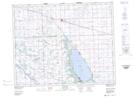
Maps showing Devil Lake, 9-30-5-W2, Saskatchewan
Devil Lake is a Unincorporated area located in 9-30-5-W2, Saskatchewan.
- Latitude: 51° 35' North (decimal: 51.5833260)
- Longitude: 102° 39' West (decimal: -102.6504777)
- Topography Feature Category: Unincorporated area
- Geographical Feature: Locality
- Canadian Province/Territory: Saskatchewan
- Location: 9-30-5-W2
- GPS Coordinate Locator Map: Devil Lake Lat/Long