Canada Topographic Maps

Grandin Lake Topo Maps

Topography maps and Latitude/Longitude Location

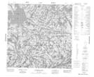
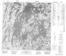
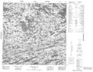
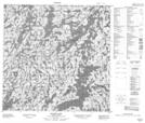
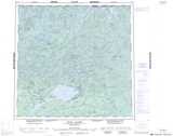
Maps showing Grandin Lake, Saskatchewan

Grandin Lake is a Lake located in Saskatchewan and has an elevation of 453 meters.

  • Latitude: 59° 46' North   (decimal: 59.7669156)
  • Longitude: 105° 58' West   (decimal: -105.9674564)
  • Topography Feature Category: Lake
  • Geographical Feature: Lake
  • Canadian Province/Territory: Saskatchewan
  • Elevation: 453 meters
  • Atlas of Canada Locator Map: Grandin Lake
  • GPS Coordinate Locator Map: Grandin Lake Lat/Long

Grandin Lake NTS Map Sheets

074O09 Fontaine Lake Topographic Map at 1:50,000 scale

074O16 Scott Lake Topographic Map at 1:50,000 scale

074P12 Astrolabe Lake Topographic Map at 1:50,000 scale

074P13 Dodge Lake Topographic Map at 1:50,000 scale

074O Fond-Du-Lac Topographic Map at 1:250,000 scale

074P Stony Rapids Topographic Map at 1:250,000 scale

 
Buy Topographic Maps DVD
Newsletter Sign-up

Yes, I want to receive map store discounts.


Bookmark and Share