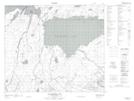
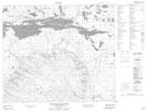
Maps showing Signal Bay, Saskatchewan
Signal Bay is a Bay located in Saskatchewan.
- Latitude: 54° 55' North (decimal: 54.9167323)
- Longitude: 104° 30' West (decimal: -104.5004284)
- Topography Feature Category: Bay
- Geographical Feature: Bay
- Canadian Province/Territory: Saskatchewan
- Atlas of Canada Locator Map: Signal Bay
- GPS Coordinate Locator Map: Signal Bay Lat/Long
Signal Bay NTS Map Sheets