Canada Topographic Maps

Pine River Topo Maps

Topography maps and Latitude/Longitude Location

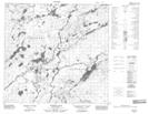
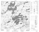
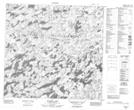
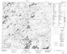
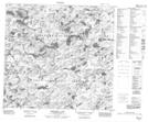
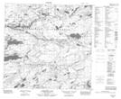
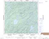
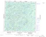
Maps showing Pine River, Saskatchewan

Pine River is a River located in Saskatchewan and has an elevation of 354 meters.

  • Latitude: 58° 50' North   (decimal: 58.8336377)
  • Longitude: 105° 48' West   (decimal: -105.8008594)
  • Topography Feature Category: River
  • Geographical Feature: River
  • Canadian Province/Territory: Saskatchewan
  • Elevation: 354 meters
  • Atlas of Canada Locator Map: Pine River
  • GPS Coordinate Locator Map: Pine River Lat/Long

Pine River NTS Map Sheets

074I12 Poitras Lake Topographic Map at 1:50,000 scale

074I13 Wapata Lake Topographic Map at 1:50,000 scale

074J07 Rumpel Lake Topographic Map at 1:50,000 scale

074J09 Hartney Lake Topographic Map at 1:50,000 scale

074J10 Birkbeck Lake Topographic Map at 1:50,000 scale

074J16 Lawrysyn Lake Topographic Map at 1:50,000 scale

074I Pasfield Lake Topographic Map at 1:250,000 scale

074J Livingstone Lake Topographic Map at 1:250,000 scale

 
Buy Topographic Maps DVD
Newsletter Sign-up

Yes, I want to receive map store discounts.


Bookmark and Share