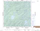
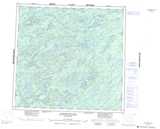
Maps showing Cree River, Saskatchewan
Cree River is a River located in Saskatchewan and has an elevation of 278 meters.
- Latitude: 58° 57' North (decimal: 58.9503090)
- Longitude: 105° 47' West (decimal: -105.7841988)
- Topography Feature Category: River
- Geographical Feature: River
- Canadian Province/Territory: Saskatchewan
- Elevation: 278 meters
- Atlas of Canada Locator Map: Cree River
- GPS Coordinate Locator Map: Cree River Lat/Long
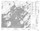
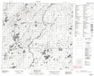
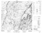
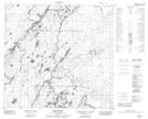
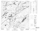
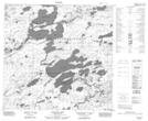
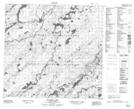
Cree River NTS Map Sheets
074G09 Middleton Island Topographic Map at 1:50,000 scale
074G16 Timson Lake Topographic Map at 1:50,000 scale
074I04 Little Cree River Topographic Map at 1:50,000 scale
074I05 Rapid River Topographic Map at 1:50,000 scale
074I12 Poitras Lake Topographic Map at 1:50,000 scale
074I13 Wapata Lake Topographic Map at 1:50,000 scale
074J01 Rotariu Lake Topographic Map at 1:50,000 scale
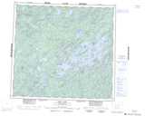
074G Cree Lake Topographic Map at 1:250,000 scale
074I Pasfield Lake Topographic Map at 1:250,000 scale
074J Livingstone Lake Topographic Map at 1:250,000 scale