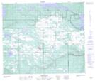
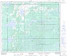
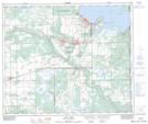
Maps showing Redspring Creek, 9-61-27-W3, Saskatchewan
Redspring Creek is a River located in 9-61-27-W3, Saskatchewan and has an elevation of 511 meters.
- Latitude: 54° 16' North (decimal: 54.2667569)
- Longitude: 109° 58' West (decimal: -109.9674921)
- Topography Feature Category: River
- Geographical Feature: Creek
- Canadian Province/Territory: Saskatchewan
- Elevation: 511 meters
- Location: 9-61-27-W3
- Atlas of Canada Locator Map: Redspring Creek
- GPS Coordinate Locator Map: Redspring Creek Lat/Long
Redspring Creek NTS Map Sheets