Canada Topographic Maps

Missipuskiow River Topo Maps

Topography maps and Latitude/Longitude Location

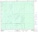
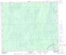
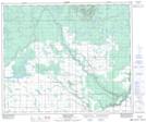
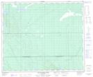
Maps showing Missipuskiow River, 56-9-W2, Saskatchewan

Missipuskiow River is a River located in 56-9-W2, Saskatchewan and has an elevation of 341 meters.

  • Latitude: 53° 53' North   (decimal: 53.8833870)
  • Longitude: 103° 18' West   (decimal: -103.3004367)
  • Topography Feature Category: River
  • Geographical Feature: River
  • Canadian Province/Territory: Saskatchewan
  • Elevation: 341 meters
  • Location: 56-9-W2
  • Atlas of Canada Locator Map: Missipuskiow River
  • GPS Coordinate Locator Map: Missipuskiow River Lat/Long

Missipuskiow River NTS Map Sheets

063E13 Missipuskiow River Topographic Map at 1:50,000 scale

063E14 New Channel Topographic Map at 1:50,000 scale

073H09 Torch River Topographic Map at 1:50,000 scale

073H16 Falling Horse Creek Topographic Map at 1:50,000 scale

063E Pasquia Hills Topographic Map at 1:250,000 scale

073H Prince Albert Topographic Map at 1:250,000 scale

 
Buy Topographic Maps DVD
Newsletter Sign-up

Yes, I want to receive map store discounts.


Bookmark and Share