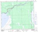
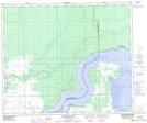
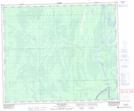
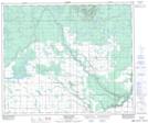
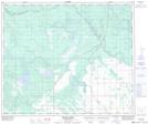
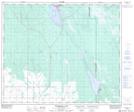
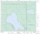
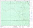
Maps showing Torch River, 56-8-W2, Saskatchewan
Torch River is a River located in 56-8-W2, Saskatchewan and has an elevation of 304 meters.
- Latitude: 53° 50' North (decimal: 53.8333828)
- Longitude: 103° 5' West (decimal: -103.0837825)
- Topography Feature Category: River
- Geographical Feature: River
- Canadian Province/Territory: Saskatchewan
- Elevation: 304 meters
- Location: 56-8-W2
- Atlas of Canada Locator Map: Torch River
- GPS Coordinate Locator Map: Torch River Lat/Long
Torch River NTS Map Sheets
063E11 Tobin Lake Topographic Map at 1:50,000 scale
063E12 Pemmican Point Topographic Map at 1:50,000 scale
063E14 New Channel Topographic Map at 1:50,000 scale
073H09 Torch River Topographic Map at 1:50,000 scale
073H10 Bedard Creek Topographic Map at 1:50,000 scale
073H11 Birchbark Lake Topographic Map at 1:50,000 scale
073H14 Candle Lake Topographic Map at 1:50,000 scale
073H15 White Gull Creek Topographic Map at 1:50,000 scale
063E Pasquia Hills Topographic Map at 1:250,000 scale
073H Prince Albert Topographic Map at 1:250,000 scale