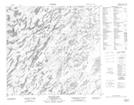
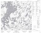
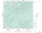
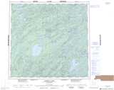
Maps showing Milliken Creek, Saskatchewan
Milliken Creek is a River located in Saskatchewan and has an elevation of 496 meters.
- Latitude: 58° 0' North (decimal: 58.0001286)
- Longitude: 104° 7' West (decimal: -104.1171400)
- Topography Feature Category: River
- Geographical Feature: Creek
- Canadian Province/Territory: Saskatchewan
- Elevation: 496 meters
- Atlas of Canada Locator Map: Milliken Creek
- GPS Coordinate Locator Map: Milliken Creek Lat/Long
Milliken Creek NTS Map Sheets