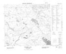
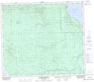
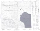
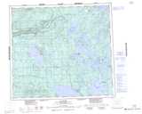
Maps showing Grizzly Bear Hills, Saskatchewan
Grizzly Bear Hills is a Mountain located in Saskatchewan and has an elevation of 572 meters.
- Latitude: 56° 0' North (decimal: 56.0000983)
- Longitude: 109° 20' West (decimal: -109.3341140)
- Topography Feature Category: Mountain
- Geographical Feature: Hills
- Canadian Province/Territory: Saskatchewan
- Elevation: 572 meters
- Atlas of Canada Locator Map: Grizzly Bear Hills
- GPS Coordinate Locator Map: Grizzly Bear Hills Lat/Long
Grizzly Bear Hills NTS Map Sheets