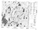
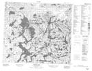
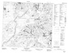
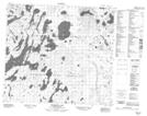
Maps showing Heddery Creek, Saskatchewan
Heddery Creek is a River located in Saskatchewan and has an elevation of 445 meters.
- Latitude: 56° 30' North (decimal: 56.5000939)
- Longitude: 107° 30' West (decimal: -107.5006612)
- Topography Feature Category: River
- Geographical Feature: Creek
- Canadian Province/Territory: Saskatchewan
- Elevation: 445 meters
- Atlas of Canada Locator Map: Heddery Creek
- GPS Coordinate Locator Map: Heddery Creek Lat/Long
Heddery Creek NTS Map Sheets