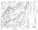
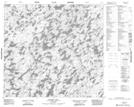
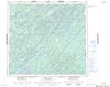
Maps showing Thomas Creek, Saskatchewan
Thomas Creek is a River located in Saskatchewan and has an elevation of 503 meters.
- Latitude: 57° 29' North (decimal: 57.4834433)
- Longitude: 105° 10' West (decimal: -105.1671954)
- Topography Feature Category: River
- Geographical Feature: Creek
- Canadian Province/Territory: Saskatchewan
- Elevation: 503 meters
- Atlas of Canada Locator Map: Thomas Creek
- GPS Coordinate Locator Map: Thomas Creek Lat/Long
Thomas Creek NTS Map Sheets