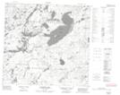
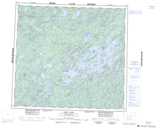
Maps showing Poulin Bay, Saskatchewan
Poulin Bay is a Bay located in Saskatchewan and has an elevation of 432 meters.
- Latitude: 57° 54' North (decimal: 57.9001286)
- Longitude: 107° 15' West (decimal: -107.2506966)
- Topography Feature Category: Bay
- Geographical Feature: Bay
- Canadian Province/Territory: Saskatchewan
- Elevation: 432 meters
- Atlas of Canada Locator Map: Poulin Bay
- GPS Coordinate Locator Map: Poulin Bay Lat/Long
Poulin Bay NTS Map Sheets