Canada Topographic Maps

Hunter Creek Topo Maps

Topography maps and Latitude/Longitude Location

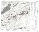
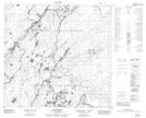
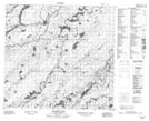
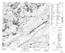
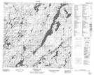
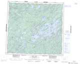
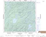
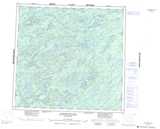
Maps showing Hunter Creek, Saskatchewan

Hunter Creek is a River located in Saskatchewan and has an elevation of 351 meters.

  • Latitude: 58° 19' North   (decimal: 58.3168061)
  • Longitude: 105° 57' West   (decimal: -105.9506485)
  • Topography Feature Category: River
  • Geographical Feature: Creek
  • Canadian Province/Territory: Saskatchewan
  • Elevation: 351 meters
  • Atlas of Canada Locator Map: Hunter Creek
  • GPS Coordinate Locator Map: Hunter Creek Lat/Long

Hunter Creek NTS Map Sheets

074G15 Engemann Lake Topographic Map at 1:50,000 scale

074I05 Rapid River Topographic Map at 1:50,000 scale

074J01 Rotariu Lake Topographic Map at 1:50,000 scale

074J02 Sanderson Lake Topographic Map at 1:50,000 scale

074J08 Thomson Lake Topographic Map at 1:50,000 scale

074G Cree Lake Topographic Map at 1:250,000 scale

074I Pasfield Lake Topographic Map at 1:250,000 scale

074J Livingstone Lake Topographic Map at 1:250,000 scale

 
Buy Topographic Maps DVD
Newsletter Sign-up

Yes, I want to receive map store discounts.


Bookmark and Share