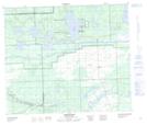
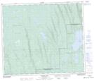
Maps showing Hildred Lake, Saskatchewan
Hildred Lake is a Lake located in Saskatchewan and has an elevation of 484 meters.
- Latitude: 54° 30' 0'' North (decimal: 54.5000930)
- Longitude: 108° 37' 33'' West (decimal: -108.6257385)
- Topography Feature Category: Lake
- Geographical Feature: Lake
- Canadian Province/Territory: Saskatchewan
- Elevation: 484 meters
- Atlas of Canada Locator Map: Hildred Lake
- GPS Coordinate Locator Map: Hildred Lake Lat/Long
Hildred Lake NTS Map Sheets