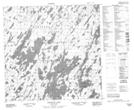
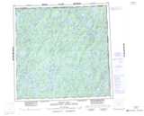
Maps showing Pelletier Bay, Saskatchewan
Pelletier Bay is a Bay located in Saskatchewan.
- Latitude: 59° 22' North (decimal: 59.3668516)
- Longitude: 103° 12' West (decimal: -103.2005087)
- Topography Feature Category: Bay
- Geographical Feature: Bay
- Canadian Province/Territory: Saskatchewan
- GPS Coordinate Locator Map: Pelletier Bay Lat/Long
Pelletier Bay NTS Map Sheets