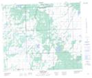
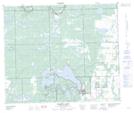
Maps showing Blue Bell, 60-21-W3, Saskatchewan
Blue Bell is a Unincorporated area located in 60-21-W3, Saskatchewan.
- Latitude: 54° 13' North (decimal: 54.2167640)
- Longitude: 109° 0' West (decimal: -109.0007530)
- Topography Feature Category: Unincorporated area
- Geographical Feature: Locality
- Canadian Province/Territory: Saskatchewan
- Location: 60-21-W3
- Atlas of Canada Locator Map: Blue Bell
- GPS Coordinate Locator Map: Blue Bell Lat/Long
Blue Bell NTS Map Sheets