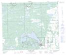
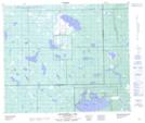
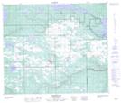
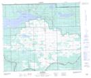
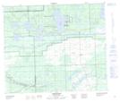
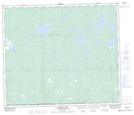
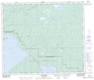
Maps showing Beaver River No. 622, Saskatchewan
Beaver River No. 622 is a Other municipal/district area - miscellaneous located in Saskatchewan.
- Latitude: 54° 14' 49'' North (decimal: 54.2470379)
- Longitude: 109° 30' 28'' West (decimal: -109.5078833)
- Topography Feature Category: Other municipal/district area - miscellaneous
- Geographical Feature: Rural Municipality
- Canadian Province/Territory: Saskatchewan
- Atlas of Canada Locator Map: Beaver River No. 622
- GPS Coordinate Locator Map: Beaver River No. 622 Lat/Long
Beaver River No. 622 NTS Map Sheets
073K03 Makwa Lake Topographic Map at 1:50,000 scale
073K04 Ministikwan Lake Topographic Map at 1:50,000 scale
073K05 Pierceland Topographic Map at 1:50,000 scale
073K06 Goodsoil Topographic Map at 1:50,000 scale
073K07 Dorintosh Topographic Map at 1:50,000 scale
073K11 Muskeg Lake Topographic Map at 1:50,000 scale
073K12 Cold River Topographic Map at 1:50,000 scale
073K Waterhen River Topographic Map at 1:250,000 scale