Canada Topographic Maps

Canwood No. 494 Topo Maps

Topography maps and Latitude/Longitude Location

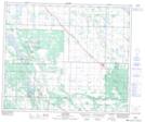
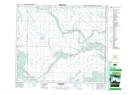
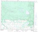
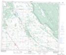
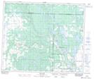
Maps showing Canwood No. 494, Saskatchewan

Canwood No. 494 is a Other municipal/district area - miscellaneous located in Saskatchewan.

  • Latitude: 53° 27' 26'' North   (decimal: 53.4571563)
  • Longitude: 106° 49' 47'' West   (decimal: -106.8297611)
  • Topography Feature Category: Other municipal/district area - miscellaneous
  • Geographical Feature: Rural Municipality
  • Canadian Province/Territory: Saskatchewan
  • Atlas of Canada Locator Map: Canwood No. 494
  • GPS Coordinate Locator Map: Canwood No. 494 Lat/Long

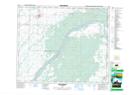
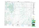
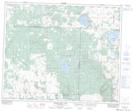
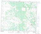
Canwood No. 494 NTS Map Sheets

073G01 Shellbrook Topographic Map at 1:50,000 scale

073G02 Leask Topographic Map at 1:50,000 scale

073G03 Mistawasis Lake Topographic Map at 1:50,000 scale

073G06 Mildred Topographic Map at 1:50,000 scale

073G07 Canwood Topographic Map at 1:50,000 scale

073G08 Wild Rose Topographic Map at 1:50,000 scale

073G09 Halkett Lake Topographic Map at 1:50,000 scale

073G10 Debden Topographic Map at 1:50,000 scale

073G11 Keg Lake Topographic Map at 1:50,000 scale

073G Shellbrook Topographic Map at 1:250,000 scale

 
Buy Topographic Maps DVD
Newsletter Sign-up

Yes, I want to receive map store discounts.


Bookmark and Share