Maps showing Torch River No. 488, Saskatchewan
Torch River No. 488 is a Other municipal/district area - miscellaneous located in Saskatchewan.
- Latitude: 53° 24' 18'' North (decimal: 53.4048920)
- Longitude: 104° 19' 45'' West (decimal: -104.3292795)
- Topography Feature Category: Other municipal/district area - miscellaneous
- Geographical Feature: Rural Municipality
- Canadian Province/Territory: Saskatchewan
- Atlas of Canada Locator Map: Torch River No. 488
- GPS Coordinate Locator Map: Torch River No. 488 Lat/Long
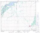
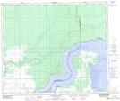
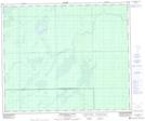
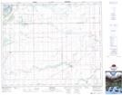
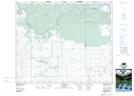
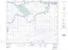
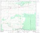
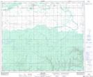
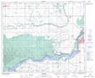
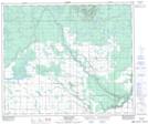
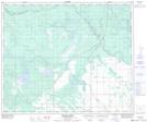
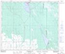
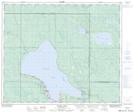
Torch River No. 488 NTS Map Sheets
063E05 Carrot River Topographic Map at 1:50,000 scale
063E12 Pemmican Point Topographic Map at 1:50,000 scale
063E13 Missipuskiow River Topographic Map at 1:50,000 scale
073H01 Ridgedale Topographic Map at 1:50,000 scale
073H02 Fairy Glen Topographic Map at 1:50,000 scale
073H03 Peonan Lake Topographic Map at 1:50,000 scale
073H06 Weirdale Topographic Map at 1:50,000 scale
073H07 Smeaton Topographic Map at 1:50,000 scale
073H08 Nipawin Topographic Map at 1:50,000 scale
073H09 Torch River Topographic Map at 1:50,000 scale
073H10 Bedard Creek Topographic Map at 1:50,000 scale
073H11 Birchbark Lake Topographic Map at 1:50,000 scale
073H14 Candle Lake Topographic Map at 1:50,000 scale
073H15 White Gull Creek Topographic Map at 1:50,000 scale
073H16 Falling Horse Creek Topographic Map at 1:50,000 scale
063E Pasquia Hills Topographic Map at 1:250,000 scale
073H Prince Albert Topographic Map at 1:250,000 scale