Canada Topographic Maps

Nipawin No. 487 Topo Maps

Topography maps and Latitude/Longitude Location

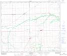
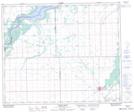
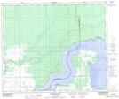
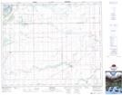
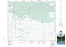
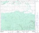
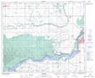
Maps showing Nipawin No. 487, Saskatchewan

Nipawin No. 487 is a Other municipal/district area - miscellaneous located in Saskatchewan.

  • Latitude: 53° 21' 47'' North   (decimal: 53.3631163)
  • Longitude: 104° 3' 48'' West   (decimal: -104.0632840)
  • Topography Feature Category: Other municipal/district area - miscellaneous
  • Geographical Feature: Rural Municipality
  • Canadian Province/Territory: Saskatchewan
  • Atlas of Canada Locator Map: Nipawin No. 487
  • GPS Coordinate Locator Map: Nipawin No. 487 Lat/Long

Nipawin No. 487 NTS Map Sheets

063E04 Arborfield Topographic Map at 1:50,000 scale

063E05 Carrot River Topographic Map at 1:50,000 scale

063E12 Pemmican Point Topographic Map at 1:50,000 scale

073H01 Ridgedale Topographic Map at 1:50,000 scale

073H02 Fairy Glen Topographic Map at 1:50,000 scale

073H07 Smeaton Topographic Map at 1:50,000 scale

073H08 Nipawin Topographic Map at 1:50,000 scale

063E Pasquia Hills Topographic Map at 1:250,000 scale

073H Prince Albert Topographic Map at 1:250,000 scale

 
Buy Topographic Maps DVD
Newsletter Sign-up

Yes, I want to receive map store discounts.


Bookmark and Share