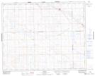
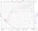
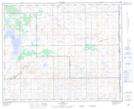
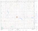
Maps showing Eye Hill No. 382, Saskatchewan
Eye Hill No. 382 is a Other municipal/district area - miscellaneous located in Saskatchewan.
- Latitude: 52° 16' 52'' North (decimal: 52.2812121)
- Longitude: 109° 46' 32'' West (decimal: -109.7755006)
- Topography Feature Category: Other municipal/district area - miscellaneous
- Geographical Feature: Rural Municipality
- Canadian Province/Territory: Saskatchewan
- Atlas of Canada Locator Map: Eye Hill No. 382
- GPS Coordinate Locator Map: Eye Hill No. 382 Lat/Long
Eye Hill No. 382 NTS Map Sheets