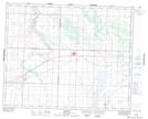
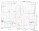
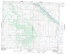
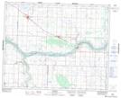
Maps showing Eagle Creek No. 376, Saskatchewan
Eagle Creek No. 376 is a Other municipal/district area - miscellaneous located in Saskatchewan.
- Latitude: 52° 20' 42'' North (decimal: 52.3450140)
- Longitude: 107° 32' 25'' West (decimal: -107.5402176)
- Topography Feature Category: Other municipal/district area - miscellaneous
- Geographical Feature: Rural Municipality
- Canadian Province/Territory: Saskatchewan
- Atlas of Canada Locator Map: Eagle Creek No. 376
- GPS Coordinate Locator Map: Eagle Creek No. 376 Lat/Long
Eagle Creek No. 376 NTS Map Sheets