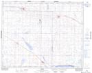
Maps showing Morris No. 312, Saskatchewan
Morris No. 312 is a Other municipal/district area - miscellaneous located in Saskatchewan.
- Latitude: 51° 43' 29'' North (decimal: 51.7246152)
- Longitude: 105° 33' 26'' West (decimal: -105.5571309)
- Topography Feature Category: Other municipal/district area - miscellaneous
- Geographical Feature: Rural Municipality
- Canadian Province/Territory: Saskatchewan
- Atlas of Canada Locator Map: Morris No. 312
- GPS Coordinate Locator Map: Morris No. 312 Lat/Long
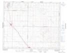
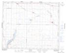
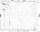
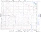
Morris No. 312 NTS Map Sheets
072O09 Hanley Topographic Map at 1:50,000 scale
072O16 Bradwell Topographic Map at 1:50,000 scale
072P11 Watrous Topographic Map at 1:50,000 scale
072P12 Renown Topographic Map at 1:50,000 scale
072P13 Young Topographic Map at 1:50,000 scale
072O Rosetown Topographic Map at 1:250,000 scale
072P Wynyard Topographic Map at 1:250,000 scale
072O16 Bradwell Topographic Map at 1:50,000 scale
072P11 Watrous Topographic Map at 1:50,000 scale
072P12 Renown Topographic Map at 1:50,000 scale
072P13 Young Topographic Map at 1:50,000 scale
072O Rosetown Topographic Map at 1:250,000 scale
072P Wynyard Topographic Map at 1:250,000 scale