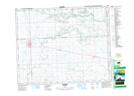
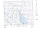
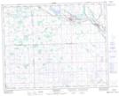
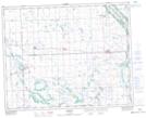
Maps showing Buchanan No. 304, Saskatchewan
Buchanan No. 304 is a Other municipal/district area - miscellaneous located in Saskatchewan.
- Latitude: 51° 44' 14'' North (decimal: 51.7372115)
- Longitude: 102° 36' 43'' West (decimal: -102.6120362)
- Topography Feature Category: Other municipal/district area - miscellaneous
- Geographical Feature: Rural Municipality
- Canadian Province/Territory: Saskatchewan
- Atlas of Canada Locator Map: Buchanan No. 304
- GPS Coordinate Locator Map: Buchanan No. 304 Lat/Long
Buchanan No. 304 NTS Map Sheets